Flood-weary northern Queensland residents are bracing for more rising floodwaters as yet another deluge is forecast to hit the drenched region.
More heavy rain and is expected to hit Queensland’s Gulf Country on Monday with falls up to 250mm over the next day.
A severe weather warning stretches from the Gulf Country across the tropical coast and down to the Burdekin region.
Between Tully and Ayr, including flood-hit regions such as Ingham, rainfall is expected to ramp up until Wednesday.
“This rain is falling onto saturated land, particularly along the north-east coast, as well as flash flooding, we may still see further river rises,” meteorologist Miriam Bradbury said.
Multiple flood warnings are in place for major rivers across northern Queensland including the Herbert River at Ingham which reached beyond the 1967 disaster level of 15.2m last week.
It comes after a wet weekend with rainfall totals of 143mm at Rollingstone on the tropical coast, 104mm at Kowanyama in the state’s northwest, and 88mm at Paradise Lagoon on Sunday.
There were more than 60 requests for State Emergency Service assistance in flood-affected regions in the past 24 hours, including tarping requests due to leaking ceilings, sandbagging requests due to groundwater entering homes, and resupply.
The persistent wet weather has hit regions already impacted by flooding, marking more than a week since some towns like Ingham were submerged.
Around 1,900 residents remain without power across northern Queensland with Ergon Energy hoping to restore most services on Monday.
Tropical cyclone forecast for WA
Meanwhile, part of north-west Western Australia is bracing for a possible tropical cyclone that could form by Tuesday.
The warning zone stretches across 350km between Cockatoo Island and Bidyadanga, including Broome.
The tropical low is currently near the north-west coastline of Western Australia and if it strengthens over the next 24 hours it will be named Tropical Cyclone Zelia.
A cyclone watch has been issued between Cape Levesque and Degray, including Broome.
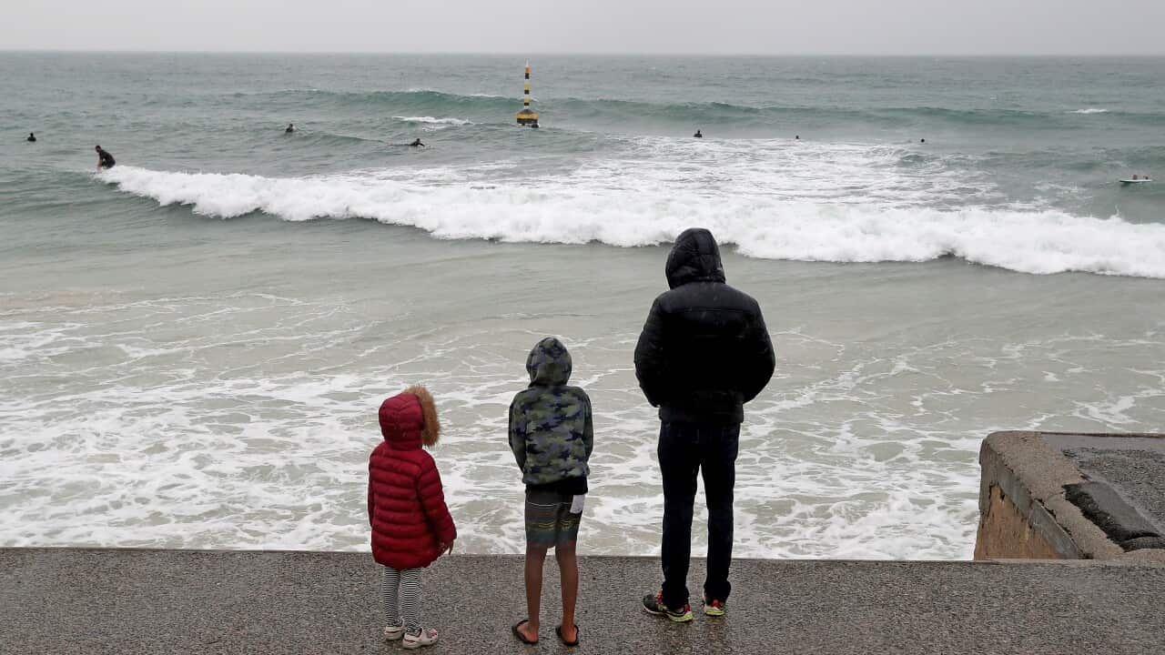
A tropical cyclone watch has been issued in WA between Cockatoo Island and Bidyadanga. Credit: Richard Wainwright / AAPIMAGE
This area may be battered by rain and thunderstorm activity from Monday afternoon before the weather conditions escalate with large waves and high tides on Tuesday.
Daily rainfall totals could reach up to 60mm over the next few days with even higher totals possible, leading to flash flooding.
“Roads may quickly become impassable and some communities may be isolated,” Bradbury said.
A flood watch is in place for the West Kimberley region.
Parts of NSW and Victoria are also expected to be battered by severe thunderstorms, large hail, damaging winds and heavy rain on Monday.

