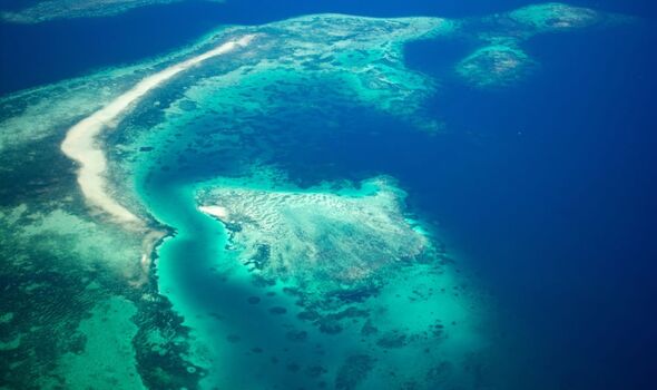
A brilliant map showed just how big the Pacific Ocean is. The Ocean, which is around 32 percent of the planet’s total surface area and 46 percent of its water surface, covers 165.25 million square kilometres.
The total Earth’s land mass is 148.94 million square kilometres, making the ocean 16.31 million square kilometres bigger.
With an average depth of over 4,000 metres, it makes it the earth’s deepest water. However, the deepest place on earth has a depth of 11,000m. It is in a place called Mariana Trench, located in the western Pacific Ocean and called Challenger Deep.
Extending from the Arctic Ocean to the Southern Ocean, the Ocean is bounded by the continents of North and South America in the east and Asia and Australia in the South.
With the Ocean being boarded by four continents, it is said that there are around twelve different time zones in the region ranging across the region. Asia, which borders the ocean, is the world’s largest continent, measuring 44.58 million square kilometres. It is reported that there are up to eleven time zones in the continent, spanning UTC +2 to UTC + 12.
There are also approximately 25,000 islands in the Pacific Ocean, including Fiji, Hawaii, and Bora Bora, making it the ocean with the most islands in the world.
The largest island in the Pacific is New Guinea, which is also the world’s second-largest island after Greenland. The island has an area of 785,753 square kilometres and is located in the southwestern region.
To get across the ocean, it is estimated that a nonstop flight would take over 11 to 12 hours to get from Los Angeles to Tokyo. However, pilots often take other routes known as “curved routes” because the weather over the ocean is often turbulent, and there are many thunderstorms in parts of it, making it unsafe.
Despite the many thunderstorms, the word Pacific actually means “peaceful” in Portuguese. Its name came from the Portuguese explorer Ferdinand Magellan in 1520, who chose it due to the calmness of the water at the time.
