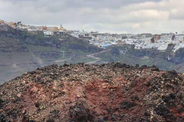
Santorini has been hit by the strongest earthquake in weeks.
A 5.3-magnitude quake struck in the sea area between Santorini and Amorgos in the Cyclades – the strongest of the thousands detected last week.
This latest quake comes amid a surge in seismic activity in the region, which has seen more than 12,800 earthquakes since January 26.
The tourism industry is anxious that the tremors will prevent many travellers from visiting Santorini, which is the island’s lifeblood.
Adding to the island’s anxiety, seismologist Akis Tselepis has indicated that the same fault line that caused massive destruction in the 1956 earthquake has reawakened: “The worst-case scenario is that we will again see an earthquake of the same magnitude,” he told The Sun.
This newest seismic event resulted in no casualties or damage reported.
“We cannot say with certainty that it was the main earthquake,” Efthymis Lekkas, President of the Earthquake Planning and Protection Organization (OASP) told ERT.
The director of the Geodynamic Institute, Vasilis Karastathis, also told SKAI: “we do not believe that anything is changing as we believe that we have a series of aftershocks.
“5.3 is no different from the 5.2 we had a few days ago. I would not say that we should focus on the magnitude, but as a phenomenon that continues normally.”
With the tourism industry growing increasingly worried about the effect the quakes will have on the sector, tourism executives have set to reassure travellers.
For now, there is no rush to cancel holidays, the executives have said, but they are keeping their fingers crossed that no destructive earthquake will hit when the main tourist season begins in late March to early April.
With an estimated 90% of its GDP derived from tourism, many of Santorini’s residents rely on the industry to provide their livelihoods.
In the meantime, the Greek oceanographic vessel, AIGAIO from the state-run Hellenic Centre for Marine Research (HCMR) is set to embark on a mission to the region, with the aim of deepening the understanding of the ongoing seismic activity.
A large team of scientists, equipped with new state-of-the-art research instruments, will conduct extensive research on the causes of the continuous tremours that have shaken the archipelago over the last few weeks.
This research will include detailed seabed mapping to identify structures related to underwater fault activity, potential submarine landslides and the stability of underwater slopes. High-resolution seismic imaging will be used to analyse fault systems that may have been activated, while deeper seismic profiling will provide insights into fault geometry at depths up to 1.2 miles beneath the seabed.
Over 12,000 people have left Santorini since the earthquakes intensified last month and few tourists are still on the island in what’s been dubbed an “an unofficial mass evacuation”.
Last Thursday (Feburary 6), trucks carrying generators arrived on ferries as emergency services relocated to the island, as well as social workers and psychologists. A state of emergency has also been declared by the island’s town hall, which will remain in effect until March 3.