Relief is slowly arriving for some sunbaked Australians after several states sweated through one of the hottest December days in years.
Parts of Victoria, NSW, Queensland and South Australia topped 45C on Monday, while the Northern Territory faces severe to extreme heatwave conditions for much of the next three days.
Extreme fire danger warnings remain in place with high bushfire risks expected across Australia’s southeast.
Mount Lofty Ranges in eastern South Australia and most of western and central Victoria, including Melbourne, are under extreme fire danger warnings.
“These hot, dry, windy conditions are likely to lead to extreme fire dangers,” senior meteorologist from the Bureau of Meteorology Dean Narramore said.
“That means that if fires do get going in this weather, they’re likely to be uncontrollable and uncontainable.”
Walpeup in Victoria’s northwest was the hottest place in the state on Monday at 47.1C, while temperatures ranged from the low to mid 40s throughout western and southern parts of NSW.
Alice Springs reached 41.9C just before 3pm, before the mercury fell 15C in just over 90 minutes.
Melbourne fell short of its forecast high of 41C, with the temperature topping out at 39.4C.
A cool change is expected to hit the Victorian capital later on Monday evening after already dramatically dropping temperatures in Geelong.
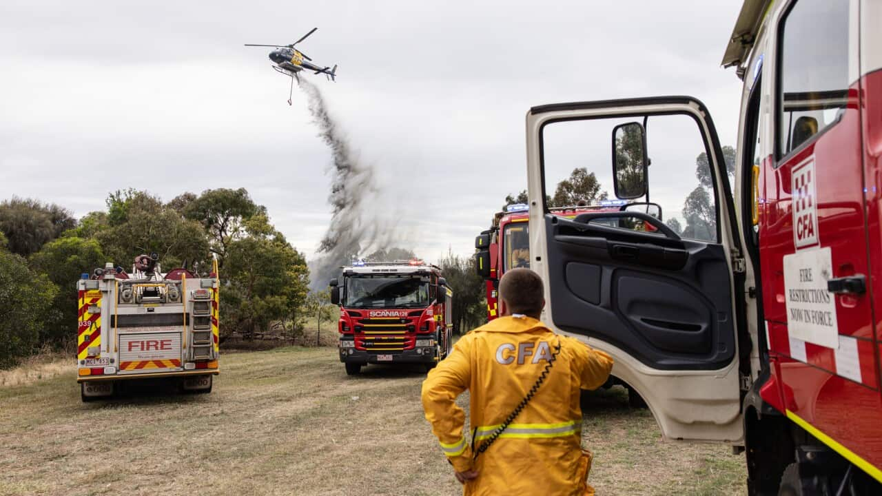
Total fire bans were declared across most of Victoria with incident management teams and firefighting aircraft on standby in critical regional areas.
An emergency warning was issued on Monday night for an out-of-control bushfire near Creswick, north of Ballarat.
Residents in the warning area were told the safest option was to leave immediately before conditions become too dangerous.
Firefighters also responded to blazes in western and eastern Victoria, and a grassfire in Melbourne.
While the mercury in Sydney reached 29C, a maximum temperature of 45.6C was recorded in Wilcannia, in central northwest NSW.
What to expect in the coming days
A high fire danger warning will remain in place for much of central NSW on Tuesday.
Queensland, meanwhile, faces the risk of flash flooding with wet weather forecast from Yeppoon on the central coast south to Brisbane.
The Bureau warned residents in the state’s southeast to prepare for heavy falls in the coming days.
“Over the next three or four days, there could be widespread falls of 50mm to 100mm and isolated falls up to an exceeding 250mm,” Narramore said.
A cool front reached Adelaide and western Victoria by 2pm on Monday but the heat will remain for the rest of the week in Queensland and the NT.
