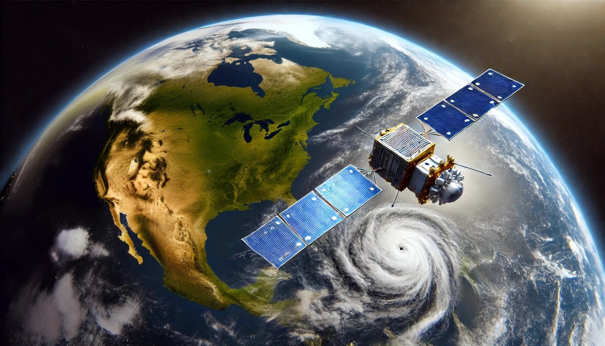
On June 25, the National Oceanic and Atmospheric Administration (NOAA) launched the fourth and final satellite of the Geostationary Operational Environmental Satellites (GOES)-R program. This latest launch, known as GOES-U, continued and extended the program’s objective of serving as the Western hemisphere’s most sophisticated system for observing weather and monitoring the environment, according to the World Meteorological Organization. Beginning with the first GOES-R launch in November 2016, these satellites have provided NOAA with advanced imagery and atmospheric measurements, real-time mapping of lightning activity, space weather observations and other services based on an extensive range of data collected by an array of sensors and imagers.
GOES-R satellites provide the critical data needed to detect and monitor environmental conditions that can potentially threaten the well-being of everyone in the Western Hemisphere. It has dramatically improved our ability to predict weather conditions on earth and in space, an especially critical capability given the severe weather events of recent years. Not only does GOES data help meteorologists predict and track events like hurricanes and tornadoes, it is also used for other essential purposes such as identifying lightning strikes that are likely to ignite wildfires, determining when and where air quality alerts are needed, planning air routes to reduce flight delays and many other important functions that affect us all every day.
A lesser-known aspect of the program is how it has leveraged new and innovative applications for artificial intelligence and machine learning to extend the mission life of satellites. By leveraging the power of AI and an application called the Advanced Intelligent Monitoring System (AIMS), the The GOES-R team has successfully leveraged the power of AI and an application called the Advanced Intelligent Monitoring System (AIMS) to improve both operational efficiency and mission resilience.
Given how much we all rely on the data produced by GOES satellites, it’s easy to see how important it is for NOAA to be made aware of any issues that might prevent GOES-R satellite sensors and imagers from collecting and sharing data. Each day, the GOES satellites collect tremendous amounts of data — an amount impossible for humans to analyze in a timely manner. AIMS rapidly analyzes the data and provides actionable information to those responsible for the operations, health and safety of the GOES systems. AIMS’s AI capabilities allow it to detect any data pattern changes and predict failures based on those pattern changes over time.
Already deployed in space on GOES-R, the AIMS AI tool improves satellite up time through its ability to quickly detect and predict anomalies in satellite systems and allow maintenance teams to take action to address potential issues before they impact system availability.
AIMS can identify anomalies in a satellite’s activity and perform root cause analyses and repairs in a matter of minutes or hours where it previously took engineers days. And by identifying these anomalies before something goes wrong, we can minimize the downtime that would have been required for the satellite to go into safe mode to be repaired.
The system currently tracks about 1,800 satellite telemetry points for possible anomalies for each satellite. For example, AIMS may detect a heat sensor unexpectedly turning off or an engine firing faster or slower than it should.
AIMS has already proven effective in monitoring the Advanced Baseline Imager, the primary Earth imaging instrument on the GOES-R satellites. The system looks for anomalies in data that indicate detectors are not performing correctly due to factors such as radiation or space weather. AIMS can determine which detectors were impacted and determine whether to turn them off or to reset and recalibrate them.
NOAA is also testing the same software for pattern recognition with other types of data such as engineering telemetry. And because its machine learning algorithms are plug-and-play components, AIMS may eventually be used in applications well beyond its original deployment.
At a time when AI seems poised to take over the world, its use in a program that has for years protected countless lives in the Western hemisphere proves that new technology can indeed serve humanity’s interests in crucial ways.
Zhenping Li is an engineer fellow at ASRC Federal, a contractor that has performed work on behalf of NOAA and other space agencies. He has more than 25 years of experience working in the aerospace industry with expertise in developing machine learning solutions for space missions and algorithm development for satellite instrument data processing.
