KISSIMMEE, Fla. — The U.S. military and the intelligence community are developing an ambitious new constellation of satellites designed to track moving targets on the ground. Meanwhile, a debate is unfolding over who should control and task these sensors once they become operational.
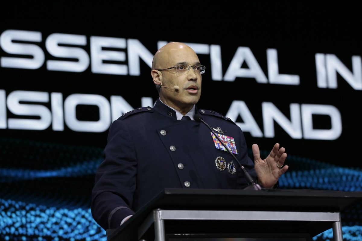
Lt. Gen. David Miller, who leads the U.S. Space Force’s Space Operations Command, aired concerns in remarks at the GEOINT Symposium.
Miller said the new program known as Ground Moving Target Indicator (GMTI) will be essential in future battles, as troops engaged in frontline combat need direct and unfiltered access to targeting data provided by these space-based sensors.
And he insisted that military commanders, rather than intelligence officials, should be in charge of controlling and tasking the sensors.
“We cannot have it so that the information goes back through a headquarters, gets filtered and then gets sent out,” he cautioned. “The ‘kill webs’ that our adversaries are building don’t do that.”
Need for direct authority
In modern warfare, delays or obstructions in receiving vital targeting intelligence could prove catastrophic, Miller warned.
And he was emphatic that military units that rely on the tracking data must have direct authority to command the space and airborne sensors comprising GMTI. The system is projected to be a mix of satellites and high-altitude drones.
The space sensors are being developed through a partnership between the Department of the Air Force and the National Reconnaissance Office, which builds and operates the nation’s spy satellites.
Integrating allied nations is another requirement Miller said should be included in GMTI. “The U.S. doesn’t fight by itself. We never will … so we’ve got to have a place where our allies and partners can have access to this data directly.”
Replacing airborne sensors
GMTI is envisioned as a game-changing capability replacing legacy airborne systems like the recently retired E-8C JSTARS aircraft. Miller said both space and airborne assets are needed in an integrated network.
Air Force Secretary Frank Kendall told lawmakers the service is seeking a distributed architecture blending satellites, drones and data networks to provide combatant commanders comprehensive ground surveillance.
Space Force officials have made the case that service units should be in charge of operating the GMTI satellites. But Miller’s comments suggest that plenty of challenges lie ahead in sorting out operational concepts and the command structure.
Need to transition to space
An NRO official speaking at the GEOINT Symposium May 7 highlighted the necessity of transitioning to space-based surveillance capabilities.
“We have to be able to do these missions from space. It’s not really a choice,” said Brett Scott, director of the NRO’s Geospatial Intelligence Information Systems Acquisition Directorate.
He pointed to scenarios like a potential China-Taiwan conflict where “our airborne and naval sensors can’t penetrate.”
In such cases, Scott emphasized, “The only information we’re going to get is from spaceborne assets to understand where objects are and what they are in the battlespace, so we have to make that transition.”
However, Scott expressed full confidence in the NRO’s ability to take on the GMTI tracking mission, stating, “We do a lot of it today, across the globe. So we know how to do it.”
“We have all the mechanisms in place and the knowledge and the systems as well to be able to figure out exactly how we translate the airborne capabilities and naval capabilities into the space-based system, to be able to support the IC and the warfighter on the timeline that is necessary,” he said.
Ken Handelman, director of defense intelligence at the Office of the Undersecretary of Defense for Intelligence and Security, echoed the strategic necessity: “Given that the pacing threat is in the Pacific, the distances are just impossible without new and expanded capabilities from space,” he said. “The U.S. military is always going to need some type of terrestrial ISR. But space is just critical.”
‘Greater and greater tension’
Robert Cardillo, former director of the National Geospatial Intelligence Agency, said Miller’s remarks indicate that the military and the intelligence community still don’t see eye to eye on the issue of GMTI operations.
“General Miller stood up here and sent a very strong message,” Cardillo said during a GEOINT panel. When it comes to data in support of targeting, “I need it now. And by the way, I need it directly into the operations center.”
In contrasting remarks at GEOINT, Vice Adm. Frank Whitworth, National Geospatial Intelligence Agency director, emphasized the important role NGA plays in gathering data, vetting it and drawing insights. He pushed back forcefully on suggestions that the process slows down the flow of data to military operators.
What the operator will call a “delay,” the intelligence official will see as “insight and advantage,” Cardillo said. “These aren’t mutually exclusive. But there is greater and greater tension.”
