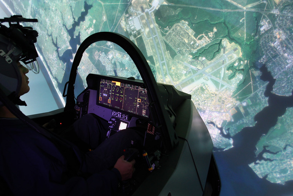
ORLANDO, Fla. — Maxar Intelligence announced a strategic agreement with Lockheed Martin to supply high-fidelity imagery for the F-35 fighter aircraft mission training simulators.
The agreement establishes standardized pricing, licensing, and requirements for a suite of Maxar’s geospatial data products, including imagery basemaps and 3D models.
Maxar, based in Westminster, Colorado, did not disclose the value of the contract with Lockheed Martin.
Lockheed Martin manufactures the F-35 fighter aircraft for the U.S. military and several allied countries, and also develops the simulators used by military pilots to hone their skills and rehearse missions in virtual environments that mirror real-world operating conditions.
Maps and models
Maxar, which operates a constellation of high-resolution Earth observation satellites, will supply to Lockheed Martin basemaps and 3D models for the simulators.
Imagery basemaps are a foundation layer for mapping and visualization projects and allow users to define the desired area of interest.
The 3D models will use the company’s Precision3D technology that creates detailed representations of the Earth with a 50-centimeter resolution and accuracy of 3 meters across all dimensions, Maxar said May 6 at the GEOINT Symposium.
“Maxar’s geospatial products, particularly Precision3D, enable the highly accurate, precise simulated real-world environments that are brought to life in the full mission simulator,” said Susanne Hake, general manager of U.S. government business at Maxar Intelligence. “This creates an immersive training experience that ultimately improves pilot safety and enhances mission success.”
